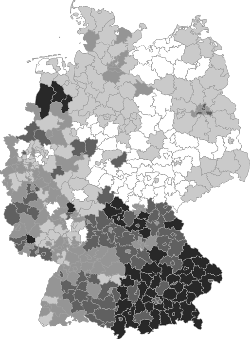
Mapping local deviations from regional voting patterns in Germany

Mapping local deviations from regional voting patterns in Germany 2

Political Science is the magpie amongst the social sciences, which borrows heavily from other disciplines. These days, many political scientists are actually failed economists (even more failed economists are actually economists, however). I used to think of myself as a failed sociologist, but reading the proofs it dawned on me that I might actually aspire to become a failed geographer.

Easy Google geocoding in Stata

For the un-initiated: Geocoding is the fine art of converting addresses into geographical coordinates (longitude and latitude). Thanks to Google and some other providers like OpenStreeMap, this is now a relatively painless process. But when one needs more than a few addresses geocoded, one does not rely on pointing-and-clicking. One needs an API, i.e. a software library that makes the service accessible through R, Python or some other programming language.
geocode is a user-written Stata command that gives access to Googles API from within Stata. It takes a variable containing address strings and returns two new variables containing the latitude/longitude information